
Locate Birmingham Neighbors Around an Address
For Birmingham neighbors, use the official source that fits the question. A parcel system can provide land-record context; a geographic association layer can place an address within a named boundary; and an election record has its own public and protected fields. Each source is narrower than a personal profile. Start with the street address and retain the portal, date, and type of record beside every result.
| Source | What it can show about a block | Access |
|---|---|---|
| City of Birmingham GIS Viewer | Local map and parcel context for an address | Official city viewer; its complete layer and popup inventory was not verified in the research review |
| Oakland County Property Gateway | Address or PIN bridge to parcel-oriented records and map products | Official county portal; address or PIN search |
| Michigan Voter Information Center | Individual voter information, polling, ballot, and registration status where public | Official name and birth-month/year lookup, not a block roster |
| Michigan QVF FOIA route | Public voter-file categories under state law, subject to exclusions and protected handling | Michigan Department of State FOIA/QVF request |
| Birmingham HOA ArcGIS layer | Named association geography around parcels | Official public REST layer; it is not a member directory |
Ownership, voter registration, a mailing location, a GIS boundary, and household presence are different facts. A block search should say which one is being researched rather than turning a parcel result into a claim about every Birmingham neighbor.
Birmingham Neighbors Through Parcel Records
The parcel method begins with address normalization, not a name. USPS ZIP Code Lookup is the address-level authority for a current delivery ZIP. Then use Oakland County Property Gateway to search an address or PIN, including partial or wildcard formats. Its stated five-character minimum and map/report routes can help turn an address into parcel-oriented research. The county data come from multiple municipalities, so classifications and update timing can vary.
- Enter the street address with city and state in USPS lookup and preserve the current delivery result and date.
- Use the normalized address or PIN in Property Gateway to identify the parcel-oriented record and legal description.
- Open the City of Birmingham GIS Viewer for local map context around that parcel.
- Record any adjacent parcels presented in the map context, or confirm them with county staff, keeping each parcel or PIN separate rather than inferring a shared household.
- For an address-wide deed sequence along a named street, use the Birmingham street directory workflow instead of expanding this immediate-block method.
The published source review did not expose the City viewer's exact public layers, search controls, popup fields, export options, or map-date controls. The method therefore does not assume a click-to-identify result or an owner field that has not been verified. If a needed field is unavailable, preserve the viewer URL and ask the City or county custodian for the appropriate record route.
The City of Birmingham GIS Viewer is the local parcel-context source shown below.
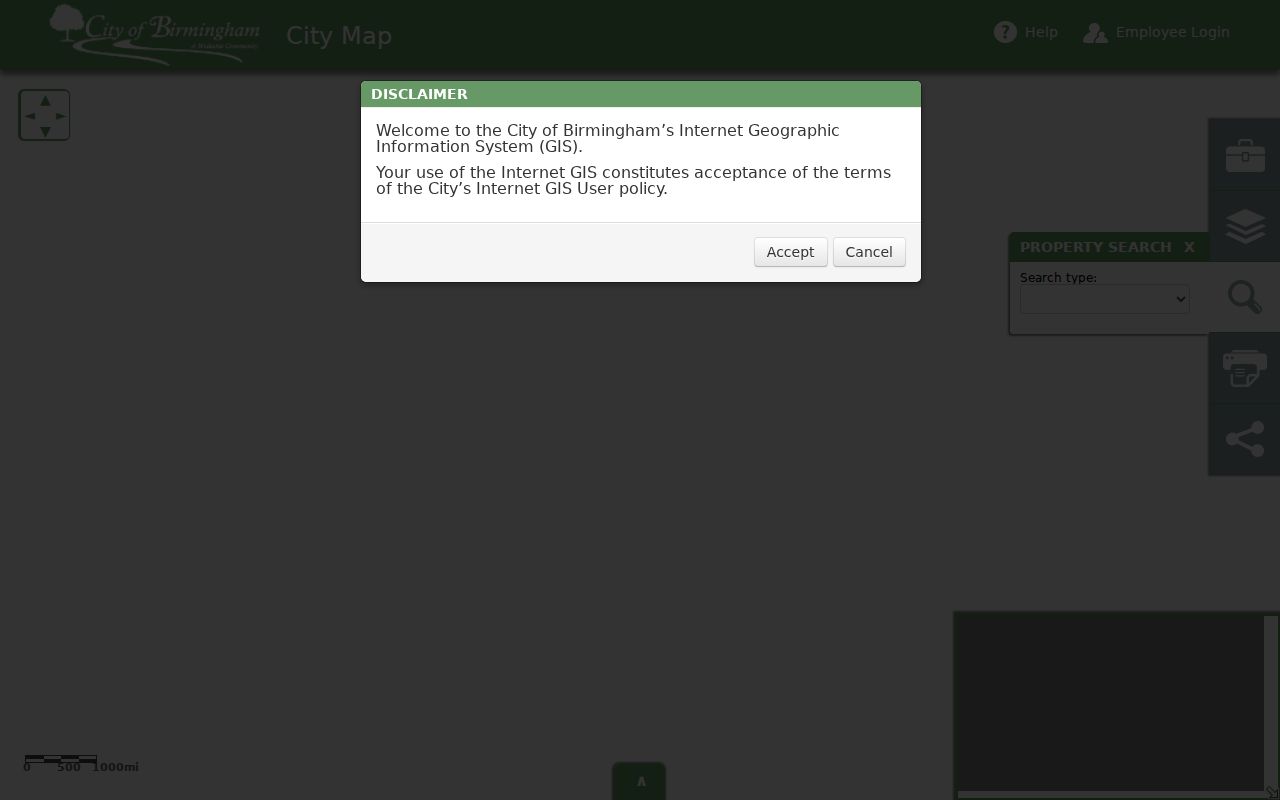
The image documents the official map route; it does not verify every available viewer layer or establish that a surrounding parcel identifies a current household.
Birmingham Neighborhood Association Boundaries
Birmingham says neighborhood associations are created by residents and are not regulated by the City. Meeting dates and geographic boundaries may be supplied by neighbors or association boards. The City can add contact information to newsletters and alerts when an association president sends it to clerksoffice@bhamgov.org. That is a contact-submission route, not a directory of members or an endorsement of an association.
The official Birmingham HOA ArcGIS REST service has 23 named association polygons. Its REST metadata supports JSON, GeoJSON, and PBF and lists a 2,000-record maximum or selection count. The layer supplies name and geography context, not a public membership roll. A parcel may overlap a polygon without proving that an owner or other person belongs to the association.
The Birmingham HOA geographic layer is shown here as a boundary and name source.
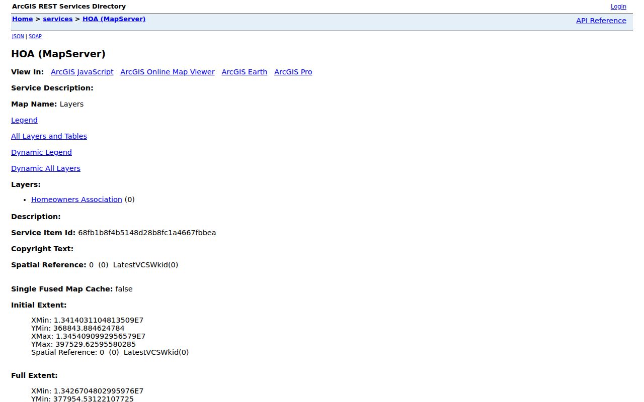
Use the association name to seek a published contact through the City route, then keep the boundary evidence separate from any claim of membership.
Birmingham Neighbors in Named Associations
The association layer names local geographies that may help Birmingham neighbors place an address in context. The City page does not verify a public roster of members. The only documented contact route is for an association president to provide contact information to the City Clerk for newsletters or alerts, so no phone number, email address, meeting schedule, or membership status should be assumed for a listed name.
| Association names in the official layer | What the City material supports | Contact route |
|---|---|---|
| Birmingham Estates; Birmingham Villas; Buckingham Village; Central Birmingham Resident; Central Lincoln; Cinderella Patch | Named polygon or neighborhood context | Use the City neighborhood-association route; a president may submit contact information to the Clerk |
| Coryell Park; Crestview; Fairfield; HAL; Hazel/Chestnut/Forest; Hidden Ravines; Highland View; Holy Name/Mill Pond | Named polygon or neighborhood context | Use the City neighborhood-association route; no public member roster was verified |
| Howarth-St. James; Manors of Birmingham; Maple Village; Pembroke Manor; Quarton Lake; Ravines; South Poppleton; Southfield Road Residents; Torry/Sheffield Estates | Named polygon or neighborhood context | Use the City neighborhood-association route; do not infer membership from parcel overlap |
Birmingham's neighborhood-association page explains the resident-created association model and the City contact-submission route.
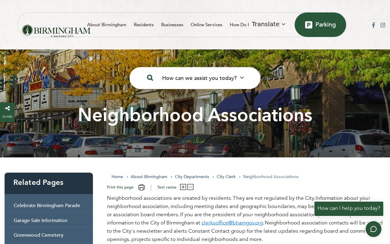
The image supports the City contact route, not an assumption that an association has a public membership directory.
Birmingham Block Address Checks
Birmingham uses 48009 for principal street-delivery addresses in city and county materials, while 48012 appears at the Birmingham Post Office and in some municipal mailing formats. The labels are postal handling facts, not a city-limit test. Nearby 48025 is associated with Franklin, Bingham Farms, and Beverly Hills rather than Birmingham. A current delivery ZIP must be checked address by address with USPS, then compared with the county parcel or GIS source.
Keep the original address string, normalized house number, directional prefix or suffix, street name, unit if present, city, state, ZIP or ZIP+4, municipality, parcel or PIN, source URL, and source date. Historic research should test Old Woodward, Woodward, and Hunter Boulevard variants. The exact official local renaming record was not captured, so a current address should not be assigned from an old label without a second dated source.
Note: Postal ZIP, city boundary, parcel, and association polygon each describe a different geography and should remain separately labeled.
Birmingham Neighbors and Voter Files
Michigan Voter Information Center uses first name, last name, birth month, and birth year in the inspected public field inventory. It can return public registration, polling, ballot, and election information. It is an individual lookup, not a tool for producing a block list. Do not infer a person's present physical location from an old registration result.
Michigan voter-registration records are public under FOIA, but the public version excludes driver-license or state-ID number, month and day of birth, and phone number. A broader Qualified Voter File request is a separate Michigan Department of State FOIA process. Public file categories can include complete name, residence address, mailing address if available, year of birth, registration date, voter status, voter ID, and voter history when requested or available. Protected handling applies to Address Confidentiality Program participants.
Birmingham's City Clerk can help with local voter registration and change-of-address forms; election contacts are 248-530-1804 and 248-530-1880. The City also accepts several voter forms at its south-side drop box. Those services do not turn the Clerk into a source for an informal neighbor list.
Birmingham Neighbors: Official and Commercial Sources
Official records and unnamed commercial neighbor tools answer different questions. The official custodian identifies its source, access boundary, and correction route. A commercial result can be an unverified lead, but it should be checked against an official record rather than repeated as a fact. Neither category supports harassment, surveillance, or an assertion that every person attached to a block lives there now.
| Source type | Useful role | Limit to keep visible |
|---|---|---|
| Official parcel, GIS, voter, or association source | Shows a defined record or geography with a named custodian | May show only ownership, a dated registration, or a boundary, not a complete household |
| Unnamed commercial neighbor tool | May suggest a name or address lead | Accuracy, source dates, and privacy treatment require independent official verification |
For an unavailable government index, use the official URL, note the access issue, and contact the named custodian. A search-engine snippet or private listing is not a replacement for the source record.
Birmingham Neighbor Lookup Privacy
A Birmingham neighbor lookup has firm boundaries. The Michigan Address Confidentiality Program supplies an eligible participant with a designated address and mail forwarding. Government entities use that substitute address where required. A public record can also omit material because of a statutory exclusion, a sealed record, a redaction, a protected voter field, or a limited portal scope. Absence is not proof that a person has no connection to an address.
Lawful use. Use Birmingham neighbor records for personal safety awareness, community context, civic research, and reconnecting. Do not use any result to follow, harass, intimidate, or expose a protected address.
The access sweep includes online portals, City Hall, the Register of Deeds, Baldwin Public Library, Birmingham Museum, the Oakland County Historical Society, Library of Michigan, City Clerk or county phone and email contacts, mail or copy orders, and a narrowly described Birmingham FOIA request when an existing municipal record is not indexed. Michigan FOIA, MCL 15.231 et seq., allows access to existing public-body records subject to exemptions; it does not require a new resident list.